*Note: Additional Photos will be added from others on the trip*
Rob Redmond emailed me back at the end of January: “I think I have located the jets. Let the trip planning begin.” On our last trip to Death Valley in November 2016, he had mentioned having some knowledge of a pair of downed planes in the Coso Range of Death Valley, and how the next trip would be to find them. So, with the alleged coordinates locked in, we got a message 3 weeks later with the trip dates and a rough route. RobRedCosoDV2017 was a go.
Trip Participants:
Rob/Dakota --- Silver Land Cruiser 100
Max/Maeve --- Grey 4Runner Trail
Adalto/Natalie --- Black 4Runner TRD Pro
Kelley/Tiffany --- Green Land Cruiser 80 w/trailer
Cole --- Grey Land Cruiser 200
Nick --- Red Montero
Louis --- Black Land Cruiser 80
Scott --- Blue Land Cruiser 80 w/trailer
Jason --- Tan Montero
Jack/Melissa --- Black TJ
Reed/Jess --- Grey 4Runner Trail
David/Vince --- Silver Land Cruiser 100
Todd --- Black Land Cruiser 100
Desmond/Elliott --- Silver 4Runner
Mike --- Black Rubicon
John --- Green Rubicon
Looking at the weather reports the day before we left, we were going to be in for a windy trip. Just that day there was a dust storm reported in the Panamint Valley that brought visibility down to about 10 feet as 70mph gusts blew sand and dust 40 feet into the air. But at this point I was committed, so I prepared for the wind. I left the Bay Area on Thursday with Reed and Jess around 1pm for our meet up site in the Alabama Hills outside of Lone Pine. Our route would take us south on Interstate 5, through Bakersfield and north on US 395 into Lone Pine. We made good time and great gas mileage with the wind at our backs coming down I-5, but as soon as we turned north on 395, we had the wind in our face and rain in our sights. It was a windy, squirrely trek into Lone Pine, but upon arrival we were rewarded with cold beer and hot pizza before heading into the famous Alabama Hills to join camp for the evening with the others that were already there. When we got there however we were met with our group, mostly huddled in their rigs, staying out of the constant 25 mph winds, gusts to 50. Reed and I each found our corners and worked to level the 4Runners. I chose a nice rock to perch on, Reed stacked a few. We packed in for the night and got some shut eye despite everyone’s vehicles shaking all night.


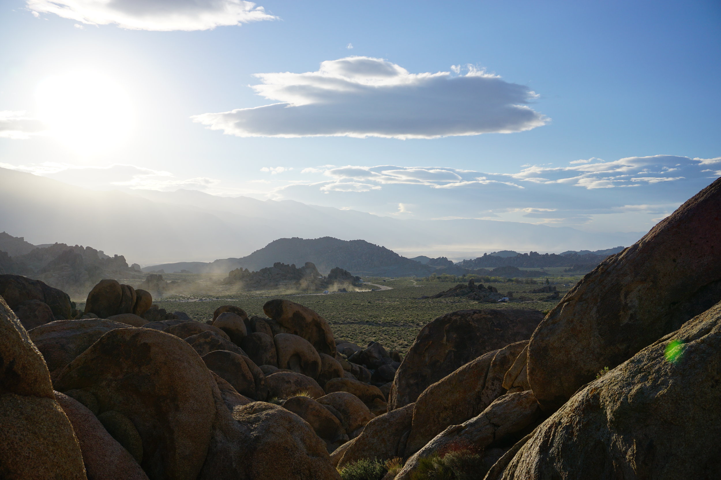
When I sleep in the 4Runner, I tend to be up sometime around day break. The light comes through the windows, and the dog starts to stir. The wind remained constant through the night, and brought temperatures into the high 30’s in the morning. But I had plans to take some photos in the morning around our camp in Alabama Hills. Maeve and I hiked out of camp to take some I morning photos of the snow covered Sierras before heading into Lone Pine for a cup of coffee and to meet up with the group outside a local gas station.




We all got together outside the local Shell station. Fresh coffee in hand, Maeve got breakfast as I panned over the “go list” of people on the trip, and checked my maps and downloaded information while I was still in cell data range. Nothing worse than getting outside cell range and then realizing that something you thought was there, isn’t. Rob gathered everyone around for a group safety meeting to go over trip parameters, and to introduce everyone. We had a range of different people with different skills, rigs and backgrounds. Some had been on a RobRed trip before, others hadn’t. We were all ready to get on the road. We turned out of Lone Pine, and onto 190 east, with a cloud of dust in front of us.


dust clouded the Owens Valley heading east on 190 towards the Coso range. As we drove through it, with the winds at our backs we were hoping the conditions wouldn’t persist too long. Thankfully as we pulled away from Owens Lake, the winds persisted but the dust died down just in time for us to pull off the road and onto the dirt. I aired down to 22 psi as I have found that it works well for desert situations. Not far off the highway was our first waypoint.


Rob chimed in on the radio asking if we had found what we were looking for (in reference to our first waypoint). He was hinting that our first stop was the infamous U2 Joshua Tree that was on the identically titled album cover. Apparently it had died in 2010 from natural causes, but there was plenty to see from people who had visited it from all over the world.


We ventured across the desert land towards our next waypoint, the secret F-4 fighter jets, lost in the canyons of the Coso Range. We breaked for a quick lunch at the Astro Artz cabin (that had more openings in the walls from bullet holes than the windows) before heading into the hills to hike up to the site. The location is classified. I could tell you, but then I’d have to kill you.


There are two main plane pieces, the wing and the tail. They are on opposite sides of the same canyon, and require some decent hiking to get there. Maeve and I started with Mike heading to the wing on the steeper hillside. When we reached the top of the hillside, we found the wing preserved in the desert. The rubber was still on the tire, paint on the metal, hydraulic rods still with their machined finishes. It was a sight to see. With others heading back to the vehicles, I scrambled down the mountain and over to the tail section. In black letters, “F-4” stood out more than anything. This was some awesome Top Gun stuff, and while the major sections of the planes had been recovered, these remaining bits were definitely worth seeing.


Our string of vehicles moved down the canyon back to the open desert landscape. Where we traversed the valley heading east towards a known campsite at the foot of the Desert Madonna sculpture. The small 2 foot tall statue sits at the base of a rock outcropping in the middle of the valley. I tried researching where it came from, or who the statue depicts, but like many things in the desert there was no information to be found, only that it was there. Oh well!


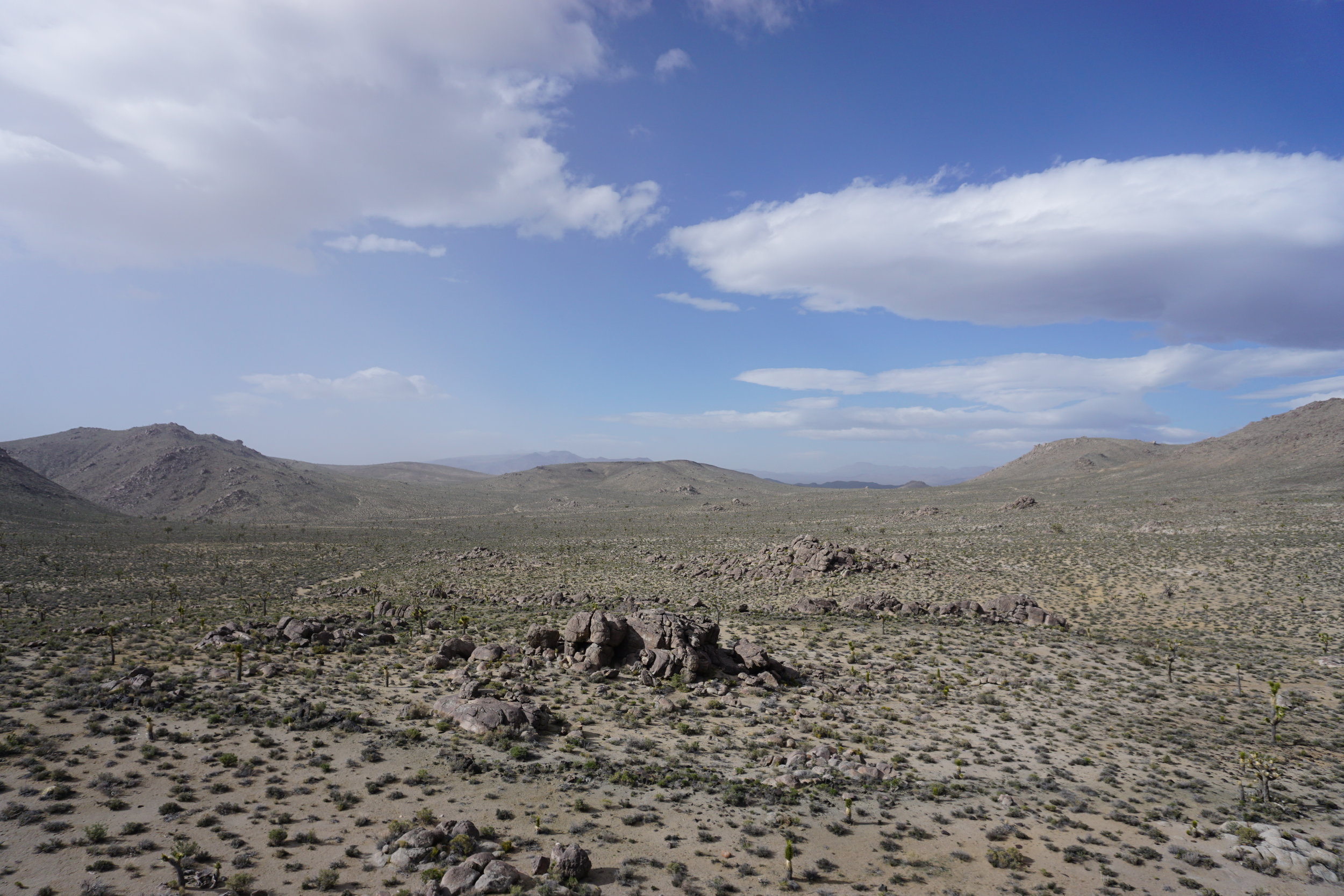

When we arrived, the wind was persisting from the north at about 10-15 mph. Mike, Reed and I spread out along a few different roads, attempting to scout a more sheltered location to camp. With good radio communication, we were able to relay information to the main group, and ultimately we settled on camping at the Desert Madonna. There were a number of good spots to set up camp if there were 3-4 vehicles, but with our large group and the variety of sleeping configurations, we needed open, flat ground to give everyone what they need. In this case, it meant that we would need to work with the wind, and configure our vehicles to form a wind break. Thankfully after we set up camp, and as the evening went on, the winds subsided to a breeze. A big campfire, some great Skottle cooked food (sausage and veggies), a dutch oven fired peach cobbler, and calmer weather made for a great night of camping in the desert.


Wake up, let the dog out, start some coffee.
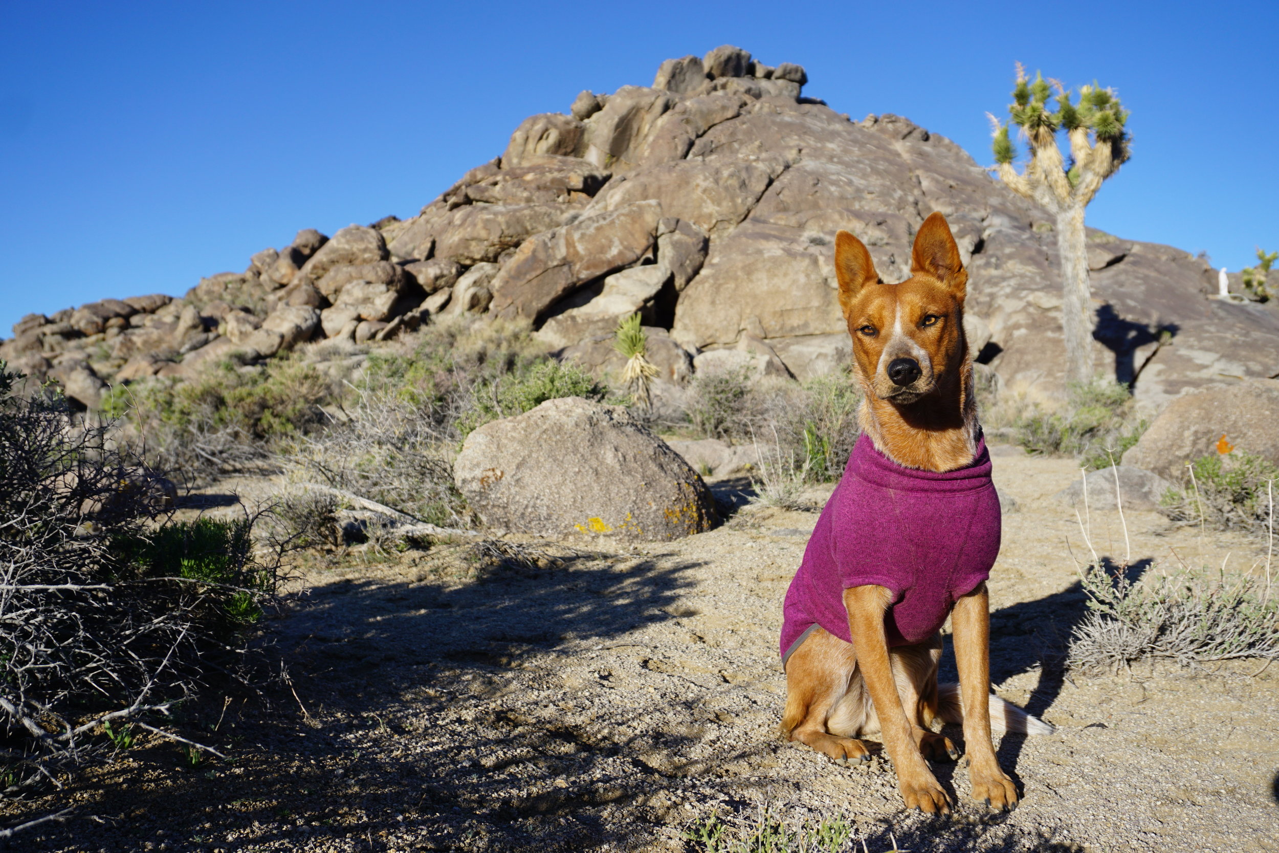
This became the morning routine on this trip as I waited for the rest of camp to wake up. Reed, Jess and I put together a morning egg scramble on the Skottle before packing up camp and getting ready to move on for the day. We had more ground to cover today and out only scheduled technical section, Mengel Pass.




We had 2 route options to get back to highway 190 which we would need to take into the Panamint Valley. One would get us to 190 on a shorter, more direct route. But after some map consulting between Rob and I, we decided that option 2 the longer route through the small town of Darwin would be well worth the additional travel time. We left camp and tracked East towards Darwin.
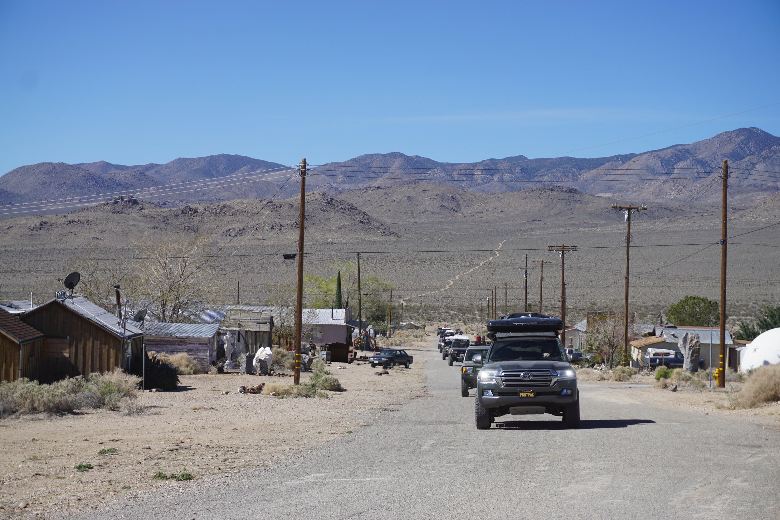
Darwin is a small town population of 50 stashed away in the middle’ of nowhere. Cars, trucks, equipment and artifacts scatter the town which was founded on the discovers of silver-lead in the surrounding hillsides. All of the abandoned vehicles and equipment look like they had been there for a few years based on what was left, but because it’s the desert they likely have been there for a few decades. No one was visible in town, but there were some newer cars parked in front of some of the houses/shacks. I cannot imagine living in an area like that, but to each their own!


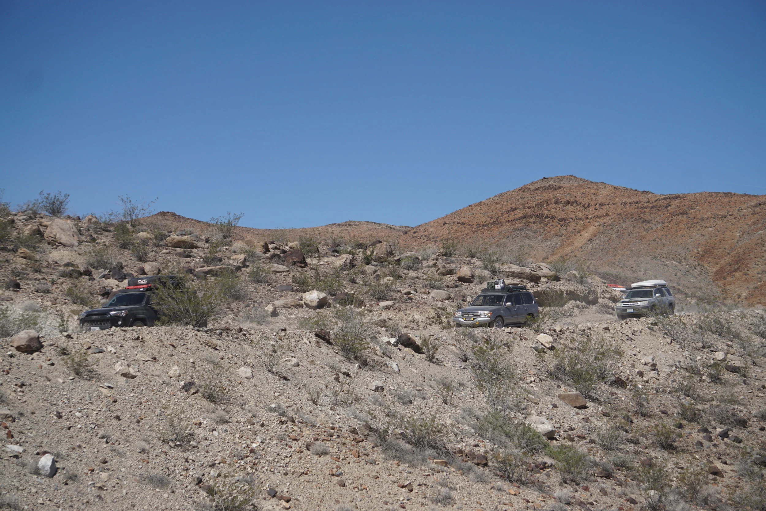
East of town, we found ourselves traversing the Darwin hills, down and into the Darwin wash which would lead us back to the highway and into Panamint Springs. I have been discovering that many roads in the desert are formed by these washes that follow deep canyons, carved by desert rains and surfaced with sandy gravel. They make traveling easy because the large rocks have been for the most part covered or moved out of the way leaving a loose gravel surface to drive on, although there are still rocks that can sneak up and slice a sidewall if you're not paying attention.


We passed a deceased burro on the side of the trail, as we drove through the canyon, and eventually up and out of the wash to the mountain sides overlooking Panamint Valley. The road we were on started in the wash, then it traversed a hillside along the Argus range, before dropping back into the Darwin Canyon. We passed by the trailhead to Darwin falls, a favorite hiking destination that I wish we had time to see, but alas as on many trips where I find new things to explore, I will come back and see it another time!




At the base of the canyon, we met the highway and aired up as we would see about 15 miles of pavement before the next dirt road. Wanting to save time, I aired up to 34 psi and called it good. We hit the general store/gas station in Panamint Springs to fill up on ice cream and gas. Or in my case, a mini-shower in the sink. Thankfully the weather when we were there was much different than a few days before, but still warm. We were now into the 90° range, meaning that keeping the dog cool and hydrating were key.


After a quick break and an expensive fuel top off, we hit the road. We turned south down the Panamint Valley towards the town of Ballarat, an ex-mining town founded in the late 19th century. There is a store that remains there in town, surrounded by abandoned equipment and vehicles of many different eras (I think this is a common theme in the desert). We all pulled in for lunch before airing down and heading down the valley to Gohler Wash.


Gohler Wash starts on the east side of the Panamint Valley, leading up to Barker Ranch and Mengel Pass. The canyon is cut deep into the rock, making even the biggest vehicles in our group seem tiny. The biggest surprise was the flowing water that trickled out of the crevasses and down the trial. This water was the source for green vegetation in the canyon, something rare to see out here in my experience.


We turned at the sign pointing towards Barker Ranch a mining residence established in the 1940’s. The ranch is known most famously for its one time cult leader, Charles Manson and his “family”. They brought their full sized bus through Gohler wash and held out at the ranch in the 60’s, avoiding arrest for their accused murders. They were eventually arrested there after lighting a National Park Service tractor on fire. Later in 2009, the house was burned down in an accidental fire leaving the foundation, fire places and some walls intact. I took the opportunity to talk in and around the remains while Maeve became obsessed with snapping at the flies that were pestering her. With Mendel Pass still on the schedule, we pressed on leaving the ranch in our dust.


Along the trail to the pass there was a short optional uphill climb that the majority of our group opt’d to take. It was technical in that there was a small step, and a deeper rut in the middle of the trail that needed to be straddled to make it up successfully. “I need help” came through on the radio. Kelley’s 80 had dropped its rear tire into the center rut bringing its front driver’s tire up, balancing the rig on the passenger slider. I doubled back with Mike, Jack and Adalto. We quickly got a strap attached to the driver’s tow hook from Mike’s Jeep to help pull the front end down. With some tension on the strap, Kelley was able to pull out of the rut and over the hump. A simple recovery with good ground communication.


Mengel pass was our only technical section on the planned route. The trail leading up to the pass summit was rocky, but it had nothing that required a spotter; patience and good line choices made the ascent simple. Coming down, there was a tighter section of trail with some well placed boulders that required a spotter to keep things moving at a decent pace. I came around the corner, Rob on the mic, as he led me through the boulders. While the stock suspension has served me well for the 30k miles I have put on it, ground clearance is a weakness. It usually requires me to take a line slightly off of what would be considered normal, using my sliders to make up for my lack of center clearance. I came down through the center, and ended up on my front skid, all 4 wheels spinning. Lack of lift strikes again. Thankfully in reverse I was able to get just enough traction to back off of the boulder to take a different line. Front wheel, slider, back wheel, done. I should have taken a better look at the obstacle first, because I couldn't see that boulder drop over my hood. Hind sight… I took over spotting and guided everyone else though using the radio. And then there was Scott in his 80 with trailer. I just moved over and watched him roll by; experience at its finest.


We dropped into Butte Valley, the dramatic Striped Butte at one end, hunting for a few well known cabins to possibly set up camp for the night. The flag poles at each cabin showing their occupancy. Flag down, no one is home. Flag up, you're SOL. In our case one of the cabins didn't have enough flat ground for our group, so we went to the Geologist cabin to seek shelter. When we arrived, a Jeep parked outside, and a raised flag told us that we arrived to late to lay claim but we still went up to check it out before moving on. It's one of the nicest cabins that I have seen, and it will be a destination for me on future desert trips.


With light fading, we had to make up some time to get to the next potential campsite, Warm Springs. Rob led the way, and to secure a spot he took his 100 out of low range and shot out ahead of the group to make sure there was open space at the camp. I kept the pace for the remaining group. The road wasn't technical, but my lack of clearance was coming back at me again. The center of the road was higher than the tracks, and my eyes were wide open at 25 mph looking for anything sticking up that could cause a big run in with my flimsy stock skid plate. I don't think I blinked for 40 minutes as we ventured down the trail. Thankfully, I didn't bash up against anything, but the constant monitoring was exhausting. I was thankful to hear Rob on mic telling us that the camp was clear.


About 10 minutes later, we rolled into camp, Warm Springs. There was old mining equipment, and an abandoned house tucked in the trees. Stagnant water filled what looked like a pond in front of the house, feeding off of water coming from the spring. There were a few concrete pads, large enough for a couple of vehicles each. Reed and I secured one for ourselves and we setup camp for the evening. Reed and Jess Skottle’d up some great burgers as we set ourselves in camping mode and enjoyed the evening in the calm canyon. That night was the best weather we had the entire trip, no wind and a perfect temperature.


In the morning we got a chance to see the surrounding landscape. Thanks to the spring nearby, there were yellow flowers everywhere. This was as close as we would get to the famed “super bloom” that makes the desert so popular this time of year. I was happy to see some color in this mostly barren land.


With camp packed, we began our descent into the Devil’s Golf Course in the heart of Death Valley. By the time we emerged from Warm Springs Canyon and turned left onto West Side Road, we were more than 200 feet below sea level and only going farther down. We said goodbye to Louis as he was heading south towards Trona, and we were continuing North. We passed the -250 foot mark as we drove by the lowest point in the United States at Badwater Basin (-282 feet). Shortly after this we got slowed down by a Prius (go figure), rattled by a small crater in the road and almost run off the road by a group of U.S. Park Service vehicles. Our group was spread out over a few miles because of the thick dust on this road. The lead would call out an obstacle or a hazard and it would be 15-20 minutes before the last rig would clear the same hazard.


We aired up just before the meeting the highway for our next stretch. Kelley and Tiffany were heading back to Lone Pine so after some good bye’s they hit the highway ahead of us. We decided to take a quick detour around the newly reopened Artist’s Drive. While it was paved (very nicely, I might add) the surrounding hills were spectacular. Colors from minerals in the soils painted the hillside.


Furnace Creek lived up to its name, as it was a sweltering 95°. We used Reeds awning as a sun shade for us as we took turns getting ice cream from the general store. The dog appreciated the cool place to lay down.
On our way to Stovepipe Wells and our next section of trail before camp, we passed by the Mesquite Dunes and unfortunately only had enough time to quickly pull over and take a photo. We dropped tire pressure again in Stovepipe Wells before setting off on an out-and-back venture to our camp for the night into Cottonwood Canyon, a place where Rob had camped on a previously trip.


We took a trail north west to edge of the Mesquite Flats and into the Cottonwood Mountains. Cottonwood canyon wound into the mountain, with tall sides and a sandy bottom, I had flashbacks to driving through Gohler canyon and feeling very, very small. We passed a couple that had a camper on the back of their compact pickup truck. They asked if we were camping further up the canyon and that they would be passing by later in the evening.


We camped that night on a perfect plot of flat sand, and with no wind and a perfect temperature we were in for a wonderful night in the desert. The couple that we passed earlier caught up to us. They were covering some ground in the cool of the evening as they were on the first day of their 3 day trip through some of the surrounding canyons. Talk about an adventure! We gave them some beer, and supplies to fix a broken boot before they left down the trail.


We had fajitas on the Skottle for dinner, a staple meal for us. Flank steak, bell peps, onions and fajita sauce. All on some toasted corn tortillas with cheese and sour cream. Hell yeah. Advantages of going camping with someone who has a fridge; great meat on the last night with no risk of sickness. Excellent.
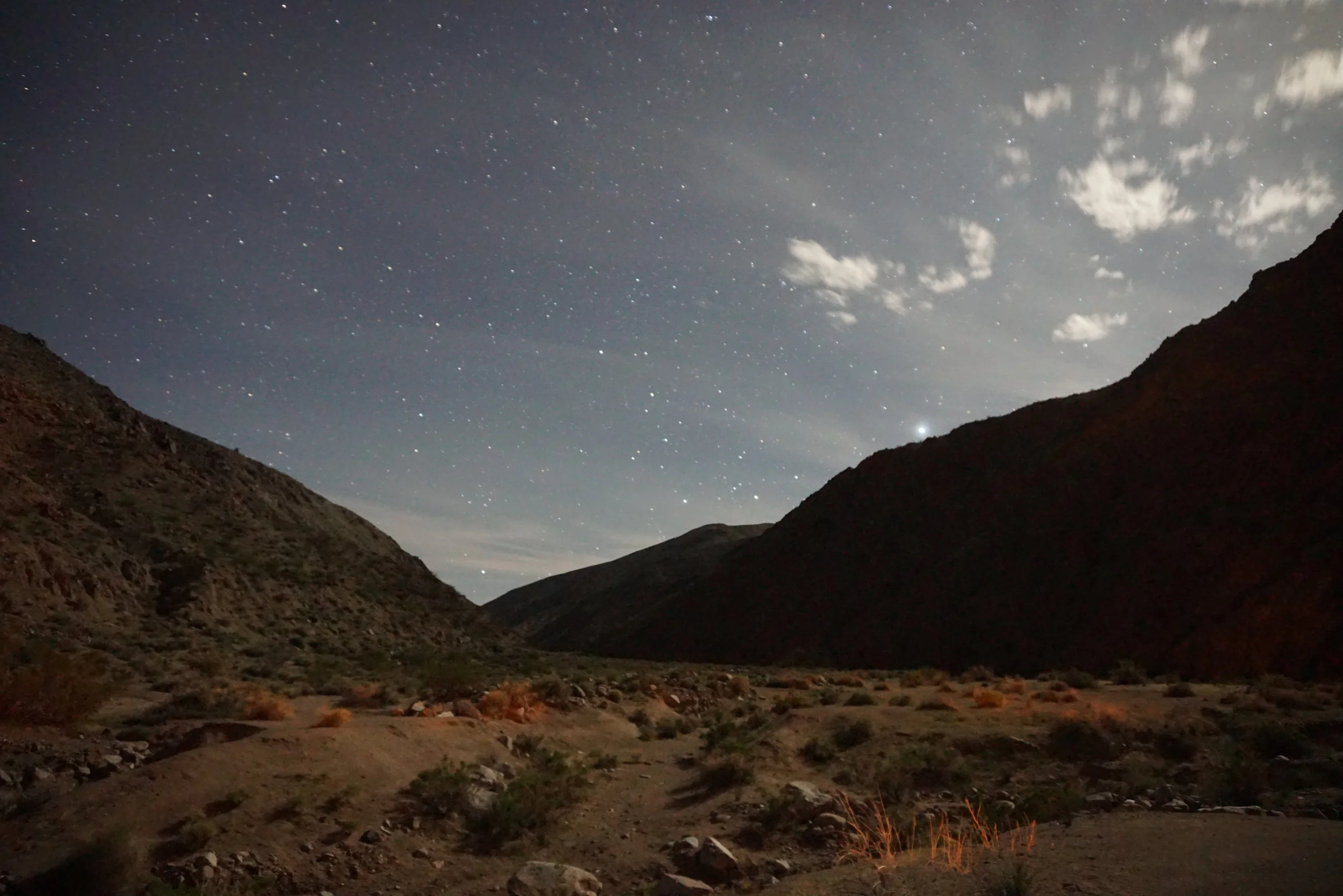
We took some fun night photos and called it a night. David and a Vince left towards the end of the bonfire to head out to the Mesquite dunes for some night astrological photography (see additional photos at the bottom).




The morning of the last day typically goes the same with every adventure. People pack at their own pace and leave to match their drive time. Reed, Jess, Maeve and I were planning on leaving together to get back to the Bay Area. Our plan was to head north on 395 and up and over the mountains. As we packed camp, I noticed that Reed was missing a bolt on his rear KDSS sway bar. We suspect that was causing his slight lean for the majority of the trip. Photos confirmed he lost it somewhere on day 1 or 2 of the trip, so getting home was something that didn't worry Reed too much.


With camp packed, we said our goodbyes and hit the trail for Stovepipe Wells. It was weird having it just be the 2 rigs heading down the trail after traveling with a large convoy for the majority of the trip. We aired up for the last time outside of the gas station before driving west on 190. Only 2 more items on the trip list. Beef jerky in Bishop for Reed, and hot springs outside Mammoth. In short time, we got a chance to do both before heading home. One of the passes that was open on the Caltrans info board really wasn't, so we had to take an hour detour. Regardless, the sights were spectacular, and aside from almost running out of fuel outside of Kirkwood we had a smooth time driving home. A great end to an awesome trip.


